Day 7
November 5, 2021
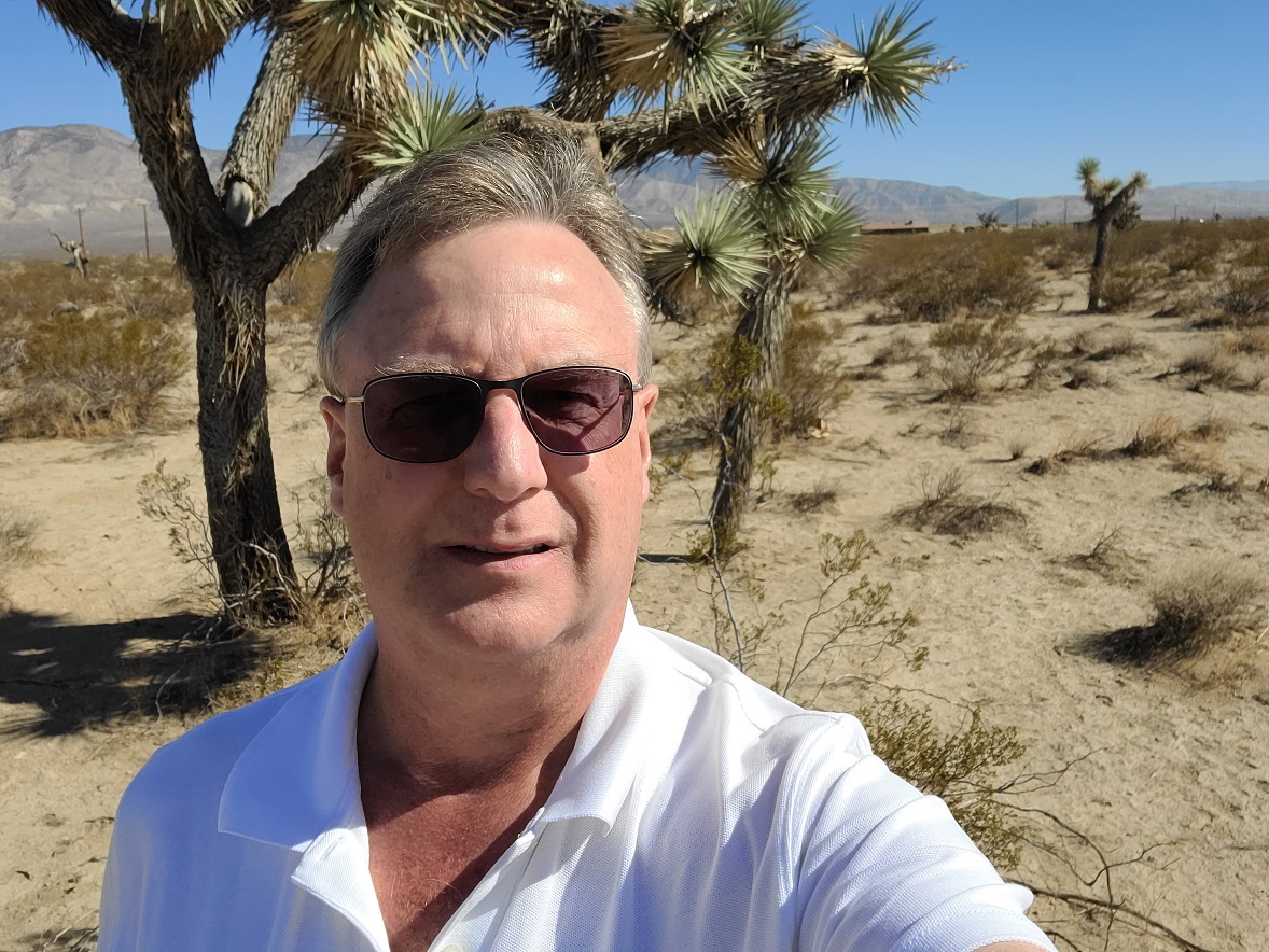
After leaving Tulare, CA we drove through the southern end of the Sierra Nevada mountains and on into the Mojave Desert. I'm not much into selfies, but I thought this one in front of a Joshua tree in the Mojave Desert was fun:

This picture is typical of the Mojave Desert near the Sierra Nevada foothills:
Here's what a Joshua tree looks like without me obstructing it:
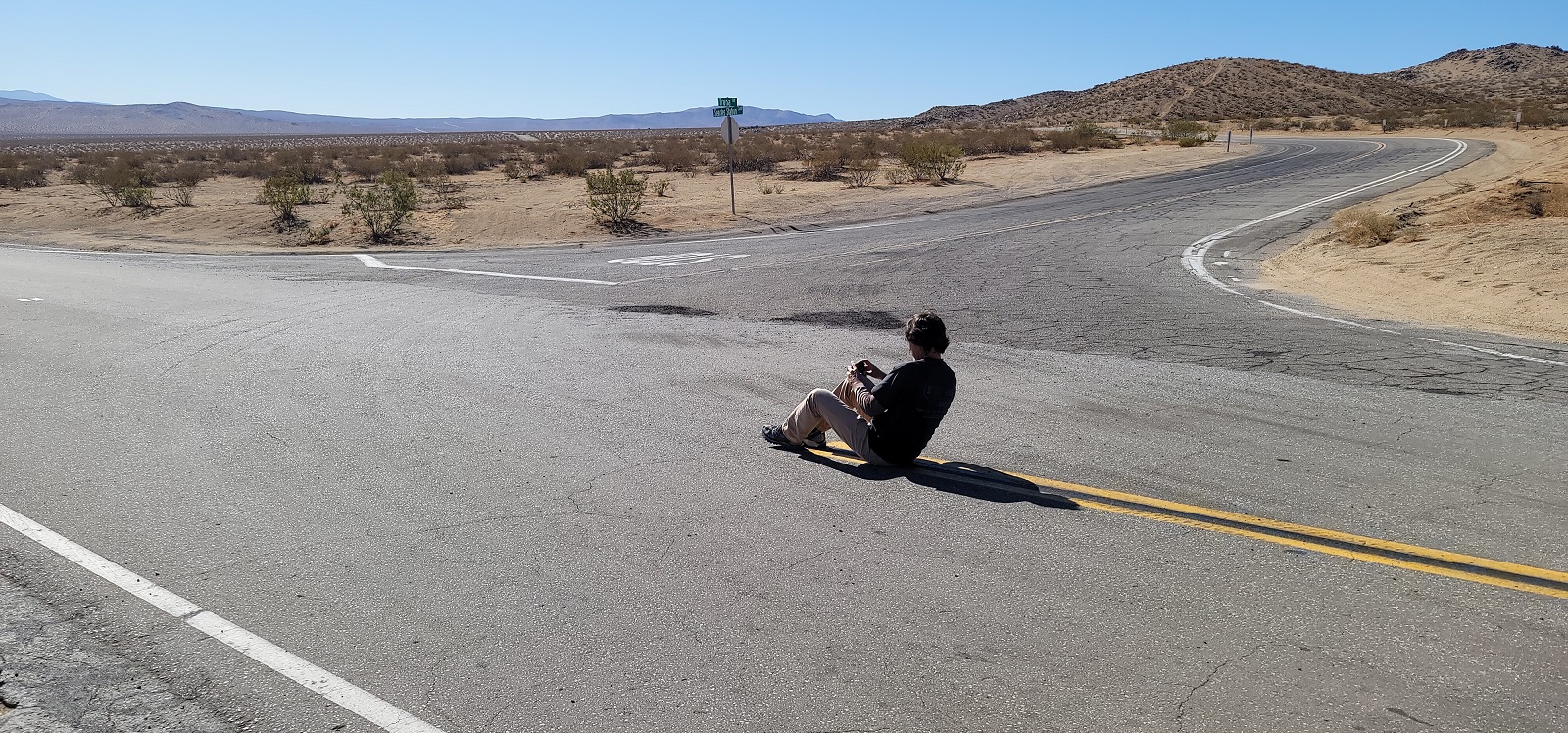
Andy will do almost anything for a picture!

Here's the picture he took:
These next three pictures are typical Mojave Desert approaching Searles Valley. In the first one, the rocks look piled up, but they are that way naturally:
Here's the road heading into the Searles Valley:
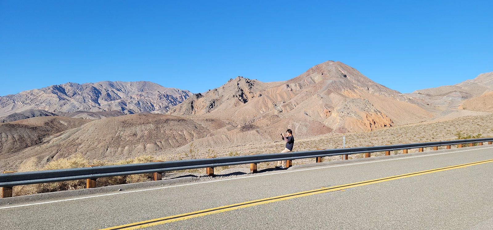
Now we're coming up out of Searles Valley over to Death Valley. And there he goes again! Don't tell Fran:

Here's the picture he took coming over the mountains from Searles Valley on the way to Death Valley:
Driving in the mountains isn't always easy!
In this next picture we're descending into Death Valley. It was quite an elevation drop:
Here we are on the Mesquite Dunes in Death Valley. Notice the green sand:
We explored Death Valley some more and came upon a whole new definition of rock salt:
You can tell these salt flats used to be covered by water:
Now it's just rock hard salt-infused mud:
We went down to the lowest part of Death Valley, 300 feet below sea level. There is a pool of water there called Badwater Pool, named by a surveyor who could not get his mule to drink from the pool. It's not poisonous, just very salty:
In this next picture, if you look at the rock above my head, you can see someone put a sign up in the rock. That sign reads "Sea Level". It's hard to tell from the perspective of the picture, but I'm about 300 feet below it:
As daylight waned, we drove up over the mountains to the east and on into Las Vegas for dinner. Then we came down to Kingman, AZ to spend the night. Tomorrow we want to see some cave dwellings.
Thanks for reading!